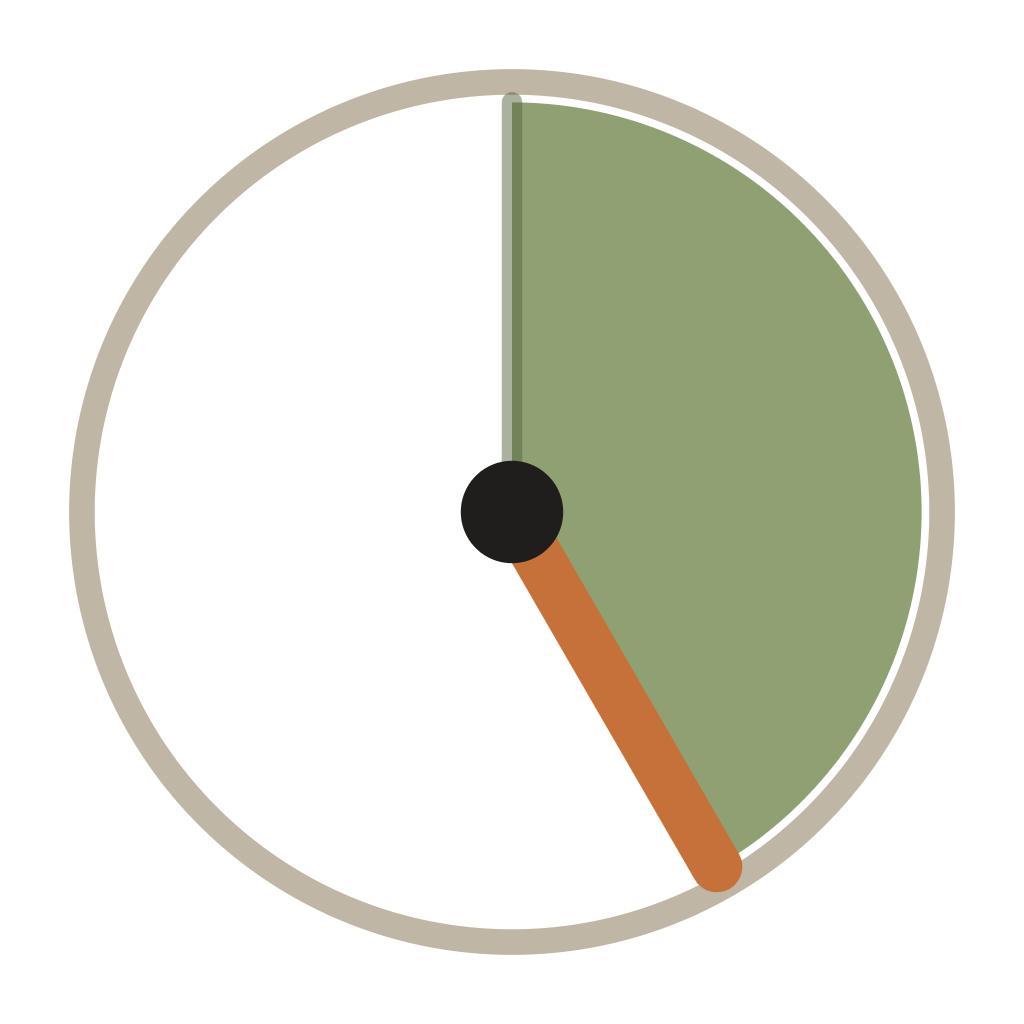
PivotDial
Know your angle.
PivotDial is a mobile app that shows you the rotation angle of a center pivot on satellite imagery, so you can set end gun, wiper and stop angles by the number instead of by eye.

Finding one degree on a circle is harder than it sounds
A pivot circle has no marks on it. When you need the end gun to come on at a certain spot, or the wiper to shut off before a yard, you are standing in a field trying to work out what number that spot is. Most people pace it off, guess from a fence line, or run the machine around and watch the panel tick over.
Machines that already have GPS and an app of their own tell you where the pivot is right now. They do not tell you the degree of the corner of the bin yard, the approach, or the tree row you want to skip. To program those numbers you still have to work them out on the ground, and if you get one wrong you find out when water lands somewhere it should not.
PivotDial gives you the degree of any point in the circle before you touch the panel.
How it works
- 1
Drop a pin on the pivot center
Find your field on the satellite map and mark the pivot point.
- 2
Enter the pivot length
The length from the center to the last tower or the end of the machine.
- 3
Read the degree
Read the degree anywhere on the map, where you stand or by dragging a pin.
What it does
End gun on and off angles
Get the numbers you type into the panel.
Wiper start and stop angles
Set a wiper to the ground it actually covers.
Obstacle and stop-in-slot bookmarks
Save the yard corner, the approach, the tree row, the parking slot.
Works with any brand of pivot
Nothing to connect, nothing to install on the machine.
Free. No subscription.
Free to download, with nothing to buy inside the app.
No account
Nothing to sign up for and no password to lose.
Save the angles you keep coming back to
Every angle you care about can be saved with a name and a label — a rock pile, a wet slough, the dry corner where the end gun should come back on. Each bookmark keeps its degree so you can read it off the list when you are at the panel.
Numbered pins on the map match the numbers in the list, so you can see at a glance which point on the circle each number belongs to.
About signal
The angle math runs on your phone. Once a pivot is set up, your reading keeps working with no signal, because it uses your device’s GPS locally. Satellite imagery needs a data connection to load; without one you still get the angle, just not the picture underneath it.
Check it against your panel first
Pivot panels are normally referenced to north. Compare one reading against your panel the first time you use the app, and if they differ by a consistent amount, enter that number in advanced settings.
Questions
The angle math runs on your phone, so once a pivot is set up the reading keeps working with no signal, because it uses your device’s GPS locally. The satellite imagery needs a data connection to load. Without one you still get the angle, just not the picture underneath it.
No. You can stand anywhere and read the degree at your own position, or drag a pin to any point on the circle from the truck, the shop or the kitchen table.
Yes. PivotDial works with any brand of pivot. It reads geometry from the pin you drop and the length you enter, so it does not connect to the machine or its panel at all.
No. The app is free to download, there is nothing to buy inside it, and there is no subscription and no account.
Your pivots and bookmarks are stored on your device. See the privacy policy for the full details.
An Android version is planned. PivotDial is a mobile app available today on iPhone. Email support@pivotdial.com if you want a note when Android is ready.
Still stuck? Go to support.